New Exhibit Features Historic Maps of Ottawa

Background shows a translucent image of the index page from the 1884 Ottawa Sanborn Fire Insurance Map. Text reads Our City in Sanborns: The City of Ottawa in Sanborn Fire Insurance Maps, 1884-1924

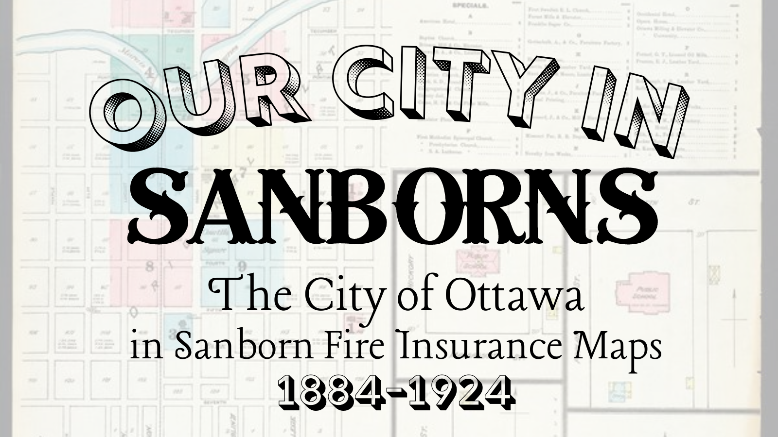
Our City in Sanborns: The City of Ottawa in Sanborn Fire Insurance Maps, 1884-1924 Now through July 2022 at the Old Depot Museum   The Sanborn Fire Insurance Maps were first published in the 1860s to help fire insurance agents assess risk to commercial, industrial, and residential buildings and properties. Sanborn ultimately printed more than 50,000 editions of maps for 12,000 U.S. towns and cities through the 1950s. Because these maps were expensive—ranging in price from $12 to $200 depending on the year and the size of the city—communities often…

Read More

January 31:Historic maps the topic of this year’s virtual historical society annual meeting

An image of a hand-drawn 19th century map, featuring streets, buildings, and the Marais des Cygnes River is in the background. A photo of a man with a beard is featured in the foreground. The words "Mapping the Past" and "84th Annual Meeting of the Members of the Franklin County Historical Society" float over the map.

“Mapping the Past,” presented by Kelly Johnston 84th Annual Meeting of the Members of the Franklin County Historical Society Sunday, January 31, 2021, 2 p.m.   Click Here For Recording   Before technology like drones, aerial photography, and GPS, 19th and early 20th century cartographers were creating incredibly accurate and detailed maps of small and large towns and their historic structures. Kelly Johnston will explore the history of some of these maps and how they can be used to research the history of buildings and towns during his presentation at…

Read More