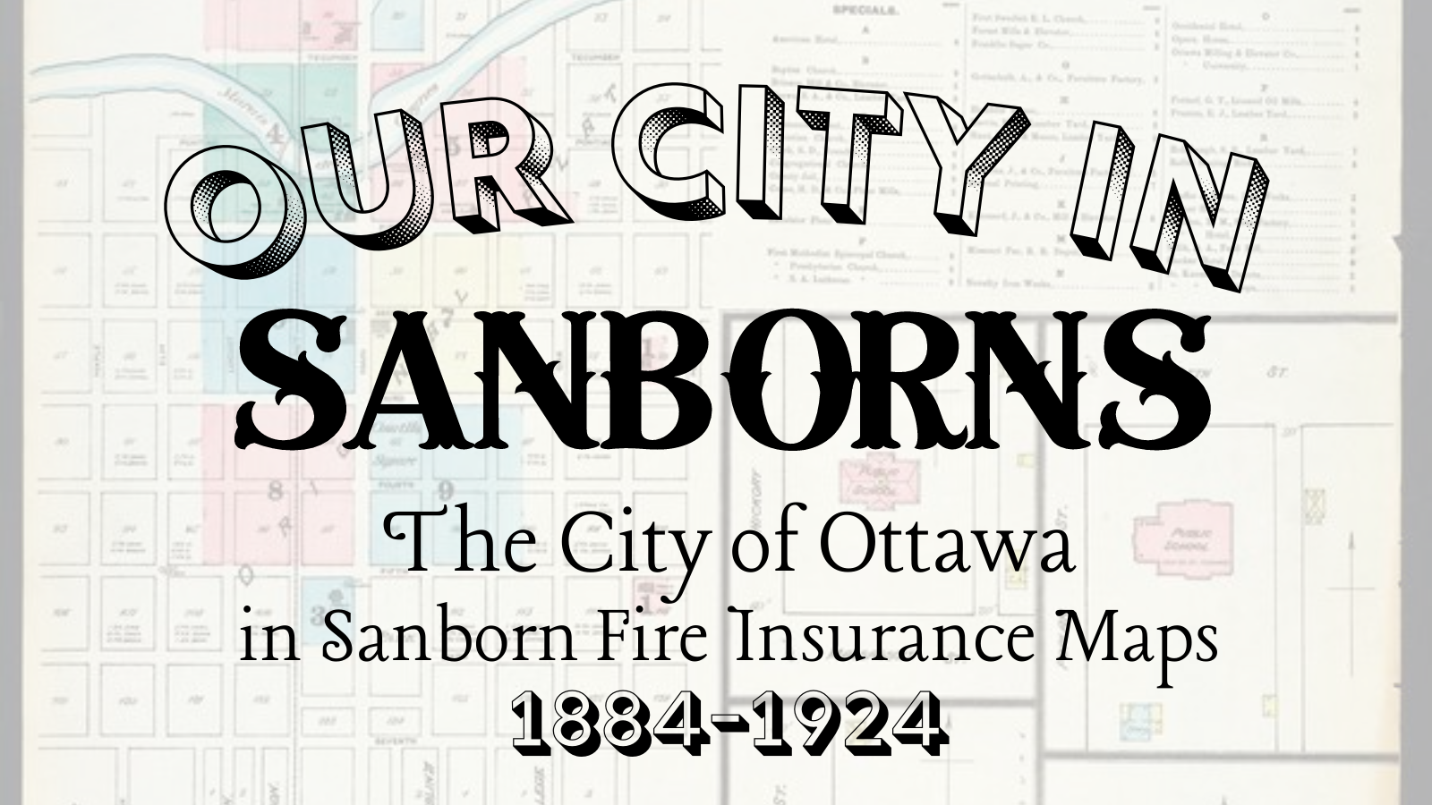
Our City in Sanborns: The City of Ottawa in Sanborn Fire Insurance Maps, 1884-1924
Now through July 2022 at the Old Depot Museum
The Sanborn Fire Insurance Maps were first published in the 1860s to help fire insurance agents assess risk to commercial, industrial, and residential buildings and properties. Sanborn ultimately printed more than 50,000 editions of maps for 12,000 U.S. towns and cities through the 1950s.
Because these maps were expensive—ranging in price from $12 to $200 depending on the year and the size of the city—communities often only purchased one copy, which was housed in the office of an insurance agent and shared with other area insurance agents and fire departments.
Sanborn maps focus on structures (how buildings are used, how buildings are constructed, outbuildings nearby) and water sources. This information helped insurance agents determine the fire risk to a property.
Today these astonishingly accurate maps are a valuable tool in historical research.
Our City in Sanborns features maps from downtown Ottawa and corresponding photographs that demonstrate Sanborn’s accuracy in documenting structural details and building uses.

