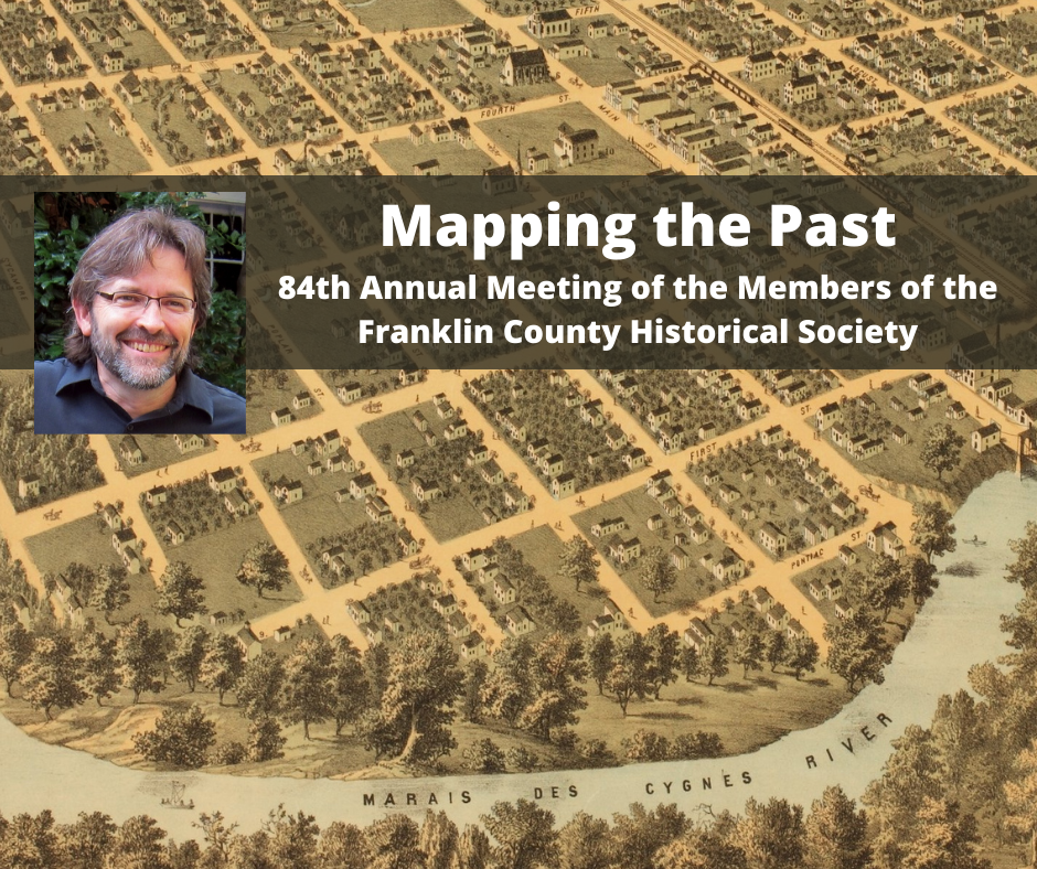
“Mapping the Past,” presented by Kelly Johnston 84th Annual Meeting of the Members of the Franklin County Historical Society Sunday, January 31, 2021, 2 p.m. Click Here For Recording Before technology like drones, aerial photography, and GPS, 19th and early 20th century cartographers were creating incredibly accurate and detailed maps of small and large towns and their historic structures. Kelly Johnston will explore the history of some of these maps and how they can be used to research the history of buildings and towns during his presentation at…
Read MoreJanuary 31:Historic maps the topic of this year’s virtual historical society annual meeting